

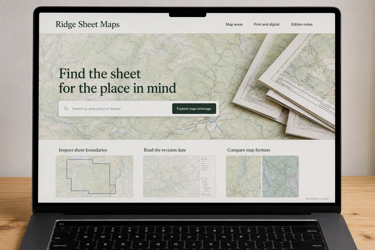
Explore this layout
Find the sheet for the place in mind
Compare coverage, editions, and print or digital formats before choosing.
The main action is “Explore map coverage”. Supporting sections cover Inspect sheet boundaries, Read the revision date, Compare map formats.

A trail map is selected for what it covers, not simply for the landscape on its cover. A hypothetical New Hampshire map publisher should help customers locate the right area, inspect the edition information, and choose a usable format. The online store also needs to make clear what a preview demonstrates and where current conditions require separate, up-to-date checking.
Let coverage drive the search
Provide a labeled coverage diagram for each map and a text list of the principal areas shown. If sheets overlap, explain the difference so buyers do not accidentally purchase two maps when one meets their intended purpose. Search should recognize the publisher’s actual place and sheet names. Keep the boundaries inspectable on a small screen. A broad mountain photograph can introduce the collection, but it cannot replace the coverage information that decides the order.
Make edition information easy to find
Show publication or revision dates and explain what changed when the publisher has documented an update. Do not imply that a printed or downloaded map continuously reflects trail conditions. Keep any links to current information maintained separately from the product’s historical edition record. If an older edition is sold, label it clearly. Someone comparing listings should not have to infer recency from a changed cover color or an unexplained product code.
Explain the physical and digital experience
For print, list folded size, open size, material, and any relevant construction details. For digital files, state the format, delivery process, and the software requirements the publisher supports. Avoid promising that every download works in every mapping application. Show a sample at a meaningful scale so the customer can judge readability. If print and digital editions differ in content, describe the difference explicitly rather than treating format as the only change.
Create a useful map-selection library
A guide comparing two neighboring sheets can explain coverage and scale using the publisher’s own material. Link to the actual editions available and a format comparison. Keep outdoor planning claims within what the map can support, without promising an effortless or risk-free trip. Measure failed place searches, format-support questions, and duplicate-sheet returns. Those signals can reveal a missing coverage label or an unclear download requirement much faster than general page-view totals.
Before you launch
- Show coverage boundaries for every map.
- Place revision dates near the edition title.
- State supported digital formats and requirements.
- Label older editions clearly in collections.
Does a map’s latest edition guarantee current trail conditions?
No. The edition date describes the publisher’s release or revision, while conditions can change afterward. Make that distinction clear and provide any maintained links the publisher uses for current information. The product page should accurately describe the map’s coverage and format without implying continuous live updates.